
About Deer Park
Rooted in the spruce grove
The story of Deer Park Estates is woven into the history of Spruce Grove — from railway homesteads on the parkland prairie to one of the Edmonton region's fastest-growing cities.
The land
Parkland, prairie & woodland
This corner of central Alberta sits in the aspen parkland — a mosaic of prairie, wetlands and stands of spruce and poplar. Long before the town existed, the area was travelled and stewarded by Indigenous peoples of the region. It was the spruce forest itself that later gave the community its name, and it is that same landscape of trees, water and open sky that Deer Park Estates was designed to preserve.
Whose land this is
Long before the town or the farm, this is Treaty 6 territory — a traditional gathering place and home to the Plains Cree (Nêhiyawak), Nakota (Stoney), Saulteaux and Dene peoples, and part of the homeland of the Métis, including the Lac Ste. Anne Métis. We acknowledge their enduring relationship with this land, water and sky, and honour that history as the first chapter in the story of Deer Park Estates.
In pictures
Around Deer Park & Spruce Grove
Timeline
From homesteads to a modern community
1890s
The railway arrives
Settlement in the area grew along the Canadian Northern Railway line west of Edmonton, opening up the parkland prairie for homesteading and farming.
1907
Spruce Grove becomes a village
Named for the dense stands of spruce that once covered the district, Spruce Grove was incorporated as a village — a small service centre for surrounding farms.
1914
A family farm on Section 9
Peter Schultz took ownership of the quarter sections that are now Deer Park Estates — roughly 189 acres of aspen parkland farmed for oats and hay, with a barn and farm buildings on the land.
1955
Growth into a town
Post-war growth along the Yellowhead corridor saw Spruce Grove incorporate as a town, steadily expanding as a bedroom community for the Edmonton region.
1984
The Yellowhead arrives
Highway 16X was built along the north boundary of the land, while both quarter sections stayed in active farming — canola, oats and hay across the neighbouring fields.
1986
City of Spruce Grove
Spruce Grove achieved city status, becoming one of the fastest-growing communities in the Edmonton Metropolitan Region.
1990
The first Deer Park plan
Deer Park Estates Developments Inc. acquired the northwest quarter for subdivision; by 1996 the first Deer Park homes were taking shape on the south and central-east of the land.
1999
Broadview takes the reins
Broadview Developments Inc. acquired the remaining farmland. An independent Phase I environmental assessment by Eco Tech Consulting Ltd. confirmed clean, undisturbed ground — a sound foundation for the community to come.
Today
Deer Park Estates takes shape
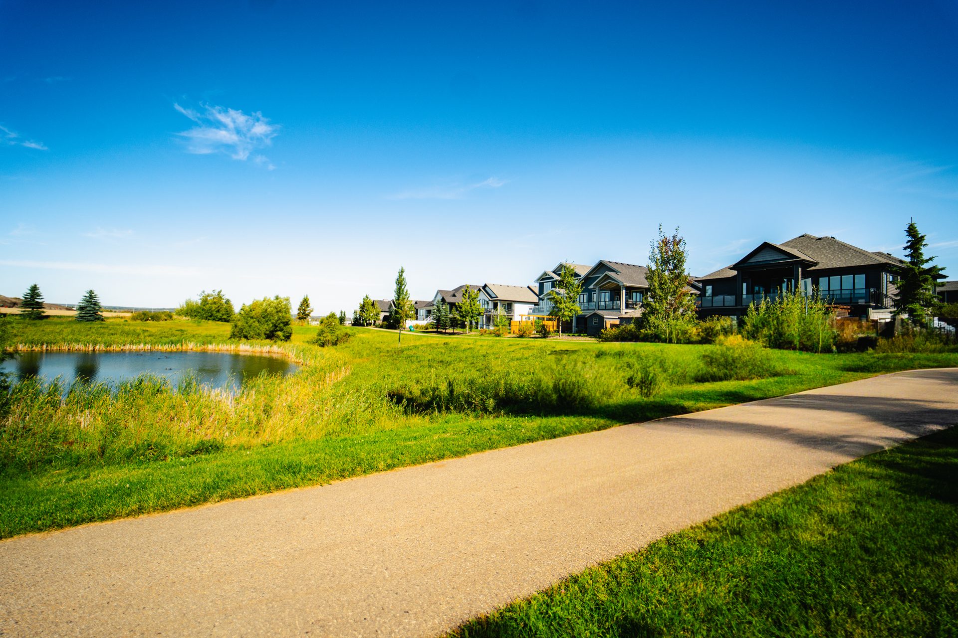
Broadview master-plans Deer Park Estates — tree-lined streets, two ponds and preserved natural areas, delivered stage by stage.
Before the estate
A century of parkland farming
For most of the last century the land that became Deer Park Estates was a working farm on the south-west and north-west quarters of Section 9-53-25-W4, at the edge of Spruce Grove. Aerial photographs from 1978 show it as a broad holding of aspen parkland — oats and hay, a barn and farm buildings, ringed by trees, bush and quiet wet areas, with the Yellowhead built along its northern edge in 1984. When Broadview Developments Inc. acquired the property in 1999, an independent Phase I environmental assessment by Eco Tech Consulting Ltd. found clean, undisturbed ground with no sign of contamination — the healthy foundation the community was built on.
Legal land
SW & NW ¼ Sec 9-53-25-W4
Area
≈ 189 acres
First farmed
1914 · Peter Schultz
Clean assessment
1999 · Eco Tech Consulting
Historical aerial photographs from the 1999 Phase I Environmental Assessment by Eco Tech Consulting Ltd.
Why "Deer Park"?
The name reflects the setting the community was built around — quiet woodland edges, ponds and green corridors where deer and other wildlife move through. Rather than clearing the land flat, the master plan keeps preserved natural areas, two ponds and a trail network at its centre, so the "park" is woven right into everyday life for residents.